In today’s world, where data shapes our decisions, the combination of two ground-breaking technologies is paving the way for remarkable solutions across diverse industries. This exciting fusion involves the merger of blockchain technology and geospatial data management. By integrating blockchain with geospatial data, we’re opening up fresh avenues for boosting data security, transparency, and efficiency in applications tied to location-based information. From urban planning to logistics, agriculture, and environmental monitoring, this partnership holds transformative potential.
Demystifying Blockchain:
Blockchain, often linked with cryptocurrencies, is a digital, decentralized ledger that records transactions across a network of computers. Its defining features are data security, transparency, and immutability, achieved through advanced cryptographic techniques. Once information is added to the chain, it becomes almost impossible to alter or tamper with.
The Significance of Geospatial Data:
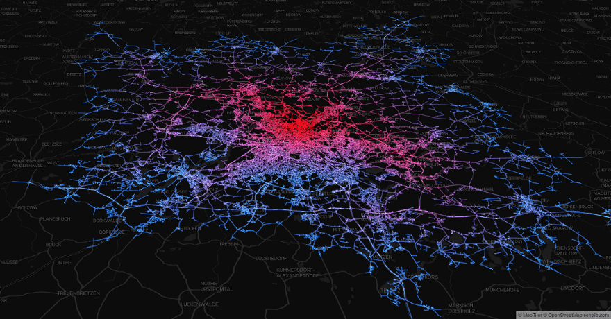
Geospatial data is all about information connected to specific geographical points. Technologies like GPS, remote sensing, and geographic information systems (GIS) capture this data, giving us insights into spatial patterns, relationships, and trends. Maps, satellite images, urban layouts, and climate data are all examples of geospatial data.
A Shield of Security and Integrity:
One of the biggest challenges in geospatial data management is ensuring the data’s authenticity and safeguarding it against unauthorized changes. Here’s where blockchain technology comes to the rescue. Storing geospatial data on a blockchain adds an extra layer of security through cryptographic hashes, making it extremely difficult to tamper with. This feature is vital for applications like maintaining land ownership records with utmost accuracy.
Transparency and Trust in Every Transaction:
Blockchain’s decentralized nature fosters transparency by providing all participants on the network with a consistent, unchangeable record of data. In the world of geospatial data, this transparency can be a game-changer for supply chain tracking, disaster response, and collaborative urban planning. Stakeholders can now verify and access data without depending on a central authority.
Smart Contracts for Seamless Transactions:
Blockchain’s magic doesn’t stop at security and transparency. It introduces us to smart contracts – agreements that execute automatically based on predefined conditions. In geospatial contexts, these contracts can automate processes like property sales, rent agreements, or utility payments triggered by specific locations. This not only trims administrative burdens but also ensures transactions occur precisely when they should.
Navigating Challenges and Considering Factors
Scaling Up Responsibly:
While blockchain offers impeccable security, its regular implementation might struggle with scalability and performance issues. When dealing with a heap of geospatial data transactions, slower speeds and higher costs might come into play. To address this, experts are exploring solutions like layer-two scaling methods or specialized blockchains.
Respecting Data Privacy:
Geospatial data often contains sensitive details about people and places. Balancing the fine line between data privacy and transparency on a public blockchain requires careful planning. Techniques such as data anonymization and permissioned blockchain networks can play a role here.
Making Systems Talk:
Geospatial data arrives in various formats and standards from different sources. The challenge lies in integrating this diverse data into a blockchain-based system. Establishing standardized protocols and interoperability frameworks is essential for seamless data exchange among various stakeholders and systems.
The harmonious blend of blockchain technology and geospatial data management promises to reshape industries reliant on location-based information. By enhancing security, transparency, and automation, this combination has the potential to transform everything from land ownership records to disaster response coordination. While embracing this exciting synergy, we must also navigate challenges like scalability, data privacy, and interoperability.
As both blockchain and geospatial technologies continue to evolve, the fusion of these worlds holds the key to a future where secure, trustworthy, and efficient geospatial data management becomes the norm.


Leave a comment