In a world where our actions have a significant impact on the environment, the fusion of artificial intelligence (AI) and remote sensing technology emerges as a beacon of hope for monitoring and preserving Earth’s invaluable resources. This powerful partnership not only gathers and processes satellite data but also translates it into actionable insights, empowering us to make informed decisions that protect our planet’s delicate ecosystems and resources.
The Perfect Blend: AI and Remote Sensing
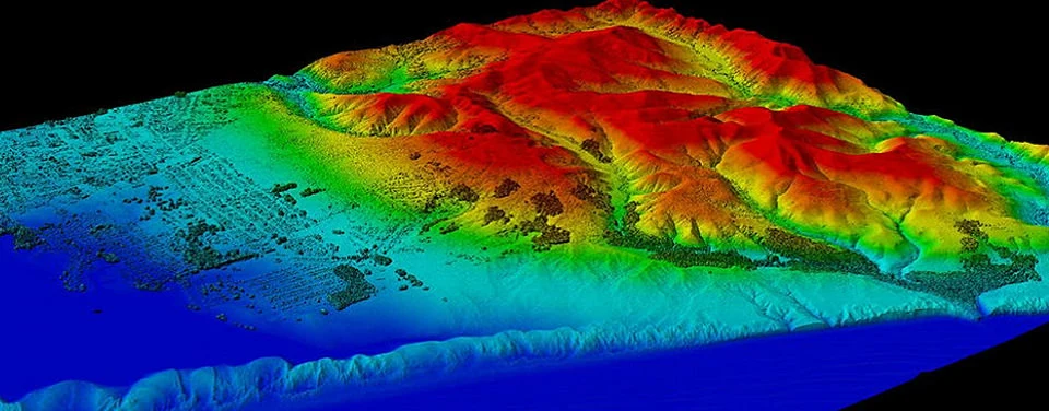
Remote sensing involves collecting data about Earth from a distance, often via satellites, aircraft, or drones. These instruments capture a treasure trove of information across various spectrums, such as visible light, infrared, and microwave, enabling scientists to keep a vigilant eye on natural and human-induced phenomena. Yet, the immense volume and complexity of this data pose a challenge when it comes to turning it into meaningful knowledge.
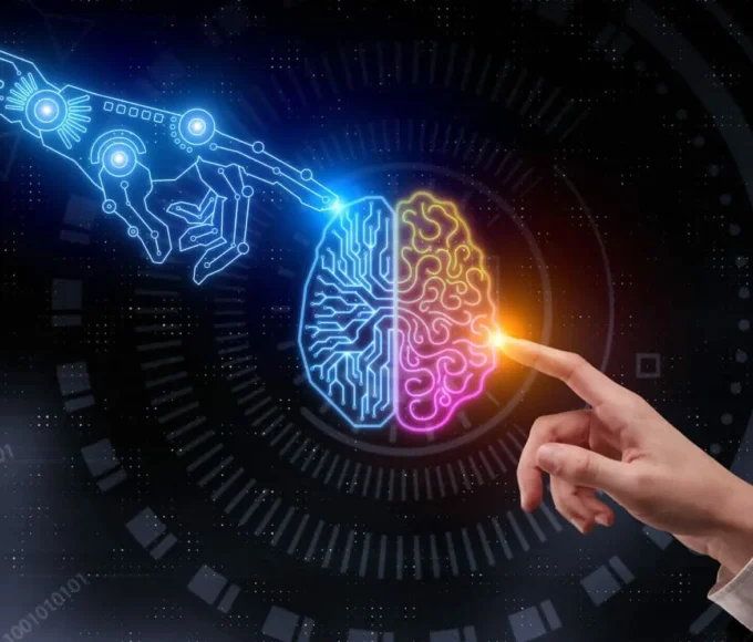
This is where artificial intelligence, or AI, steps in. AI has rapidly evolved thanks to advancements in machine learning and deep learning techniques. Algorithms like convolutional neural networks (CNNs) and recurrent neural networks (RNNs) excel in tasks such as image analysis, pattern recognition, and data classification. When applied to remote sensing data, AI transforms it into coherent and actionable insights.
Guardians of Earth’s Resources
Satellite imagery, enriched by AI-driven analysis, has revolutionized the monitoring of Earth’s resources across various domains:
1. Agriculture and Food Security:
Thanks to AI-powered remote sensing, precision agriculture takes center stage. By scrutinizing multispectral imagery, AI algorithms assess crop health, predict yields, and even detect pests and diseases. Farmers armed with this knowledge can make smarter decisions, resulting in higher crop yields, less resource wastage, and improved food security.
2. Forest Management:
Forests play a vital role in carbon storage and biodiversity conservation. AI-enhanced remote sensing helps track deforestation, illegal logging, and wildfires. By analyzing both historical and real-time satellite data, authorities can swiftly respond to protect these essential ecosystems.
3. Water Resources:
Managing freshwater resources is a global concern. AI algorithms process satellite data to monitor water quality, identify pollution, and predict droughts or floods. Armed with such insights, policymakers can devise effective water management strategies.
4. Urban Planning:
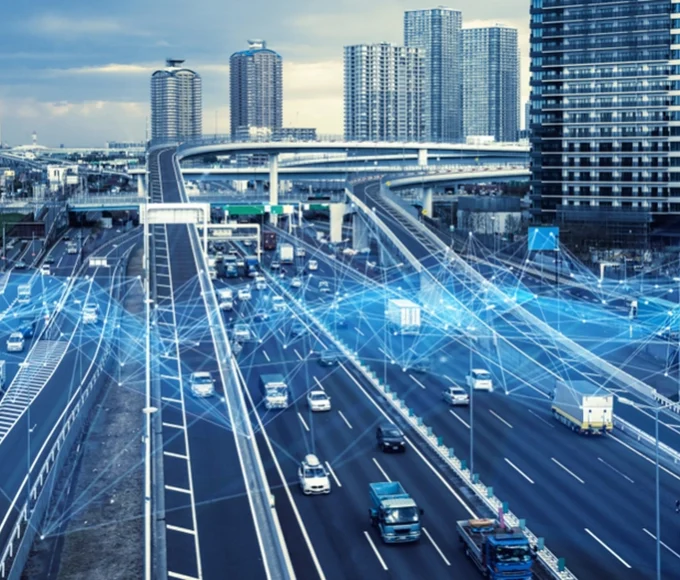
In rapidly urbanizing regions, the blend of remote sensing and AI aids in urban planning, infrastructure development, and disaster preparedness. By analyzing land usage and population dynamics, cities can better allocate resources and bolster their resilience.
Rising to the Challenge
The integration of AI and remote sensing also rises to meet a plethora of environmental challenges:
1. Monitoring Climate Change:
AI-powered satellite data analysis plays a pivotal role in monitoring climate change by tracking greenhouse gas emissions, sea-level rise, and ice melt. These insights inform global climate agreements and guide efforts to mitigate the impacts.
2. Responding to Natural Disasters:
After disasters like earthquakes, hurricanes, and tsunamis, AI-driven remote sensing assists in assessing damage, conducting search and rescue operations, and efficiently directing relief efforts.
3. Safeguarding Ecosystems:
AI algorithms can identify and monitor vulnerable ecosystems and species. Conservationists leverage these insights to design protected areas and formulate strategies for wildlife preservation.
4. Battling Air and Marine Pollution:
Remote sensing, augmented by AI, identifies and tracks sources of air and marine pollution, allowing authorities to target pollution hotspots and enforce environmental regulations.
Navigating the Path Forward
While AI and remote sensing have already achieved remarkable progress in resource monitoring and environmental management, the journey ahead holds exciting prospects. As technology continues to evolve, we can anticipate:
Higher Precision: AI algorithms will refine data interpretation further, elevating the accuracy of resource monitoring and early warning systems.
Real-time Insights: The marriage of AI and remote sensing will usher in real-time monitoring and rapid responses to dynamic environmental shifts.
Predictive Analytics: AI-driven models will become even more adept at forecasting resource trends and anticipating environmental changes, enabling proactive decision-making.
Data Fusion: The integration of data from various sources, including satellites, drones, and ground sensors, will provide a comprehensive view of Earth’s resources.
Global Collaboration: AI and remote sensing will facilitate international cooperation in addressing global challenges such as climate change and resource depletion.
In closing, the convergence of AI and remote sensing is reshaping how we perceive and safeguard Earth’s resources. By harnessing the capabilities of satellite data and intelligent algorithms, we gain the tools to make well-informed choices that promote sustainable development, safeguard biodiversity, and maintain the delicate equilibrium of our planet’s ecosystems.
Looking forward, the synergy of these fields holds the promise of a more resilient and harmonious future for both humanity and our environment.







Leave a comment